
Field Data Capture
UAV surveying, oblique photogrammetry, and on-course photo and video capture.
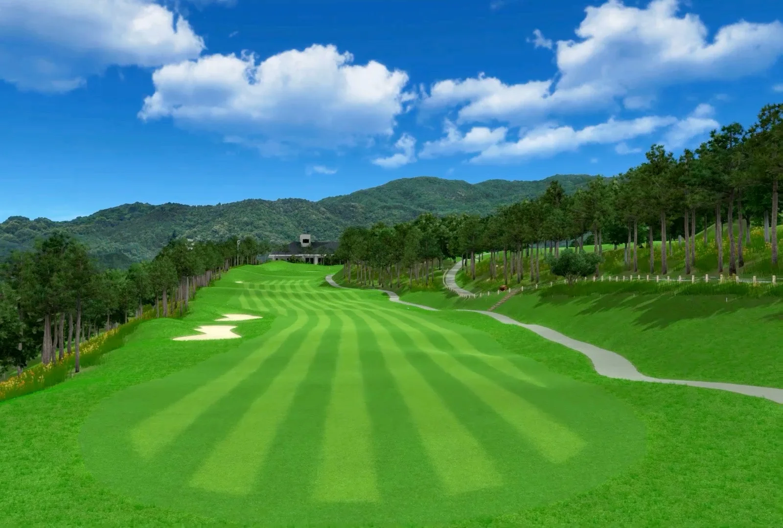
Field Capture · Spatial Data · Digital Golf Courses
From field capture to production-ready digital assets
We can carry out UAV surveying, oblique photogrammetry, and on-site imagery capture at the course, or continue from client-supplied aerial data. Deliverables can include orthophotos (DOM), DEMs, point clouds, and 3D models, followed by golf course, architectural asset, and real-time engine scene delivery.
Scalable production support for golf technology companies, course operators, simulator platforms, and digital experience teams
Service Capability
Engage us for the complete scope or for selected modules within your existing pipeline. Field capture, spatial data, 3D assets, and engine content are coordinated through one project lead.
UAV surveying, oblique photogrammetry, and on-course photo and video capture.
Aerial triangulation, orthophoto and DEM processing, and spatial reference preparation.
Course terrain, clubhouses, ancillary buildings, facilities, and landscape assets.
Materials, scene assembly, Unity adaptation, and performance optimization.
From Field to Digital Course
We can manage the complete scope or begin with client-supplied data. Every stage is aligned to the target product, spatial reference, and delivery standard to reduce repeated processing and multi-vendor handoffs.
01 / Spatial Foundation
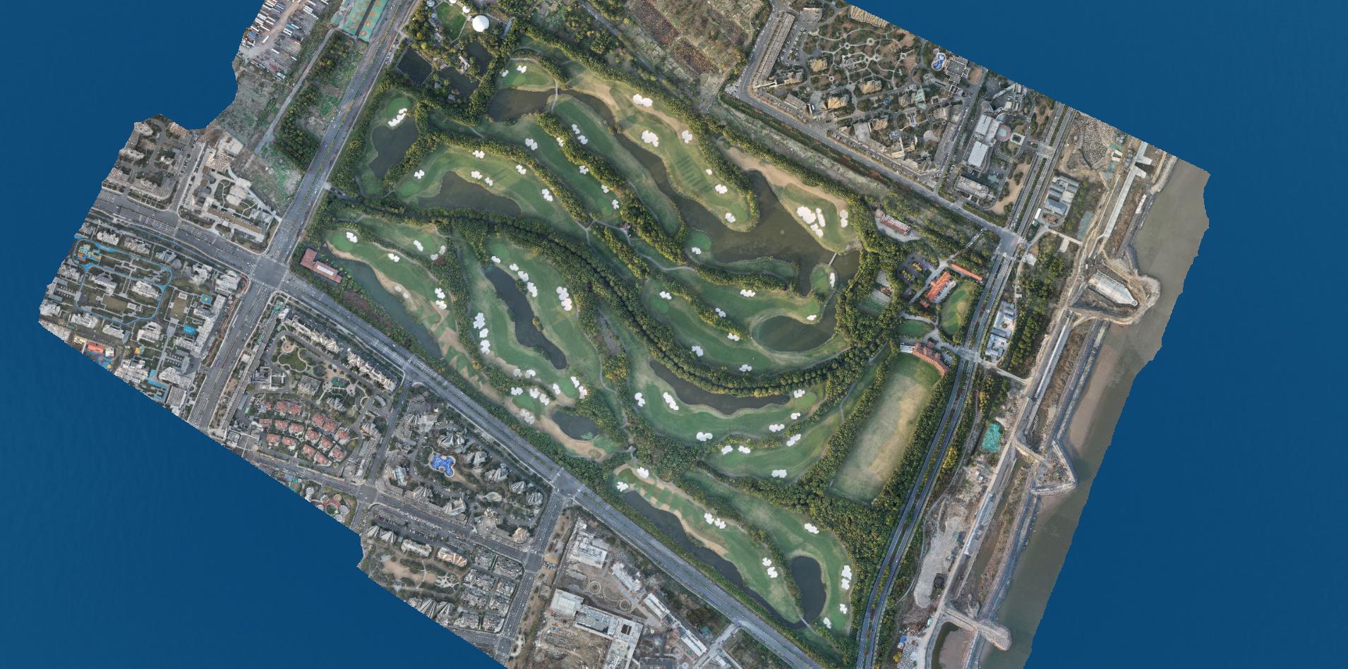
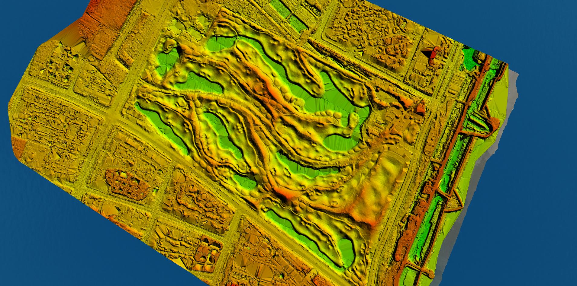
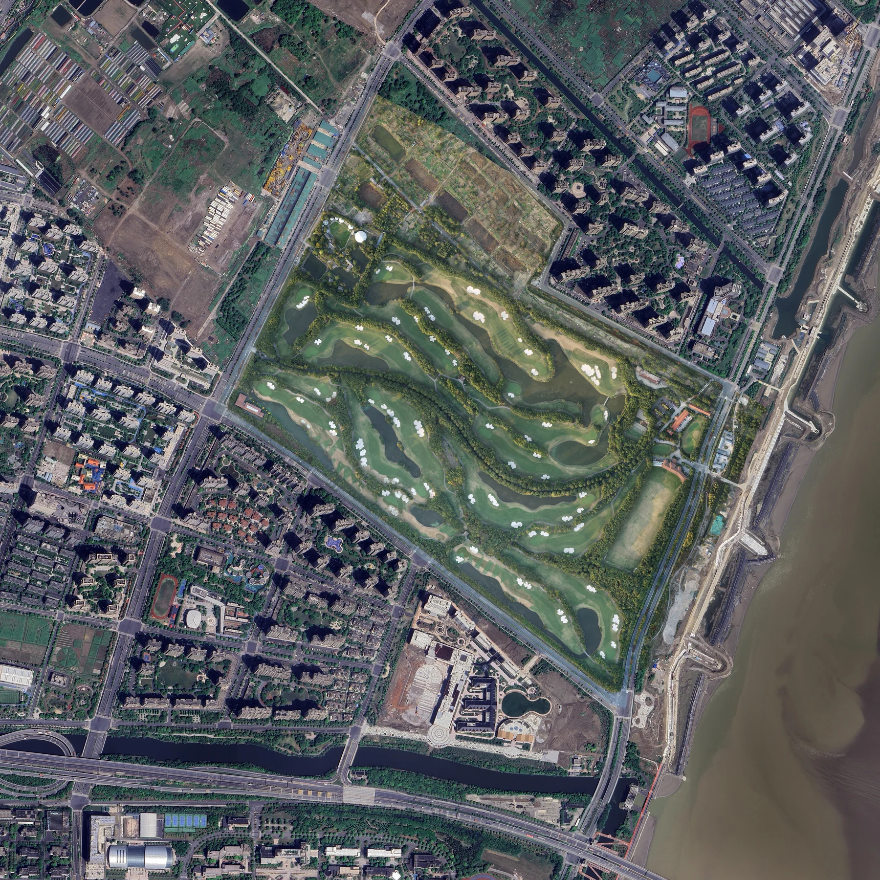
Unified coordinates, accuracy requirements, and delivery standards make orthophoto and DEM outputs ready for terrain reconstruction, asset production, and downstream applications.
02 / Digital Asset Production
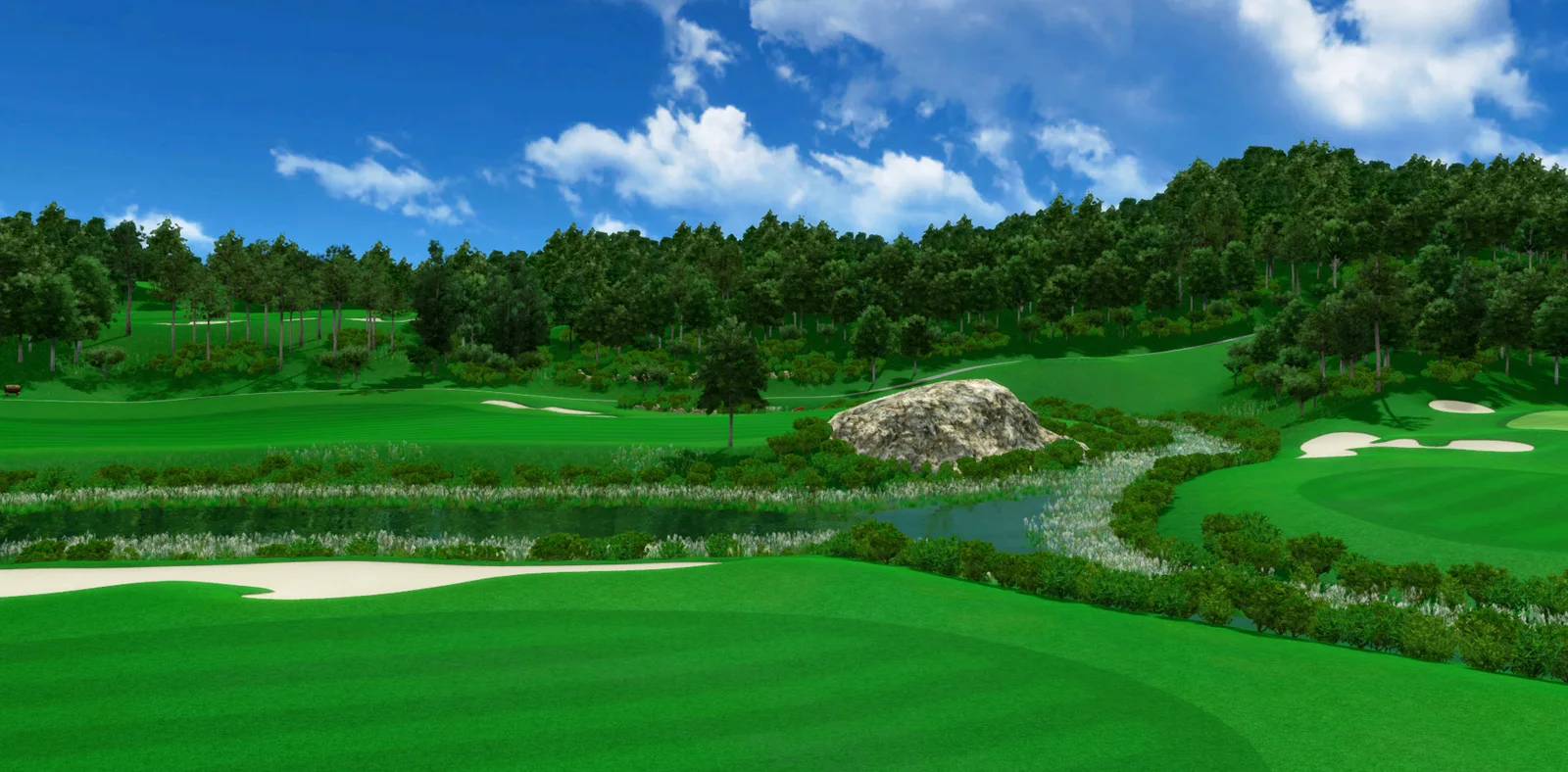
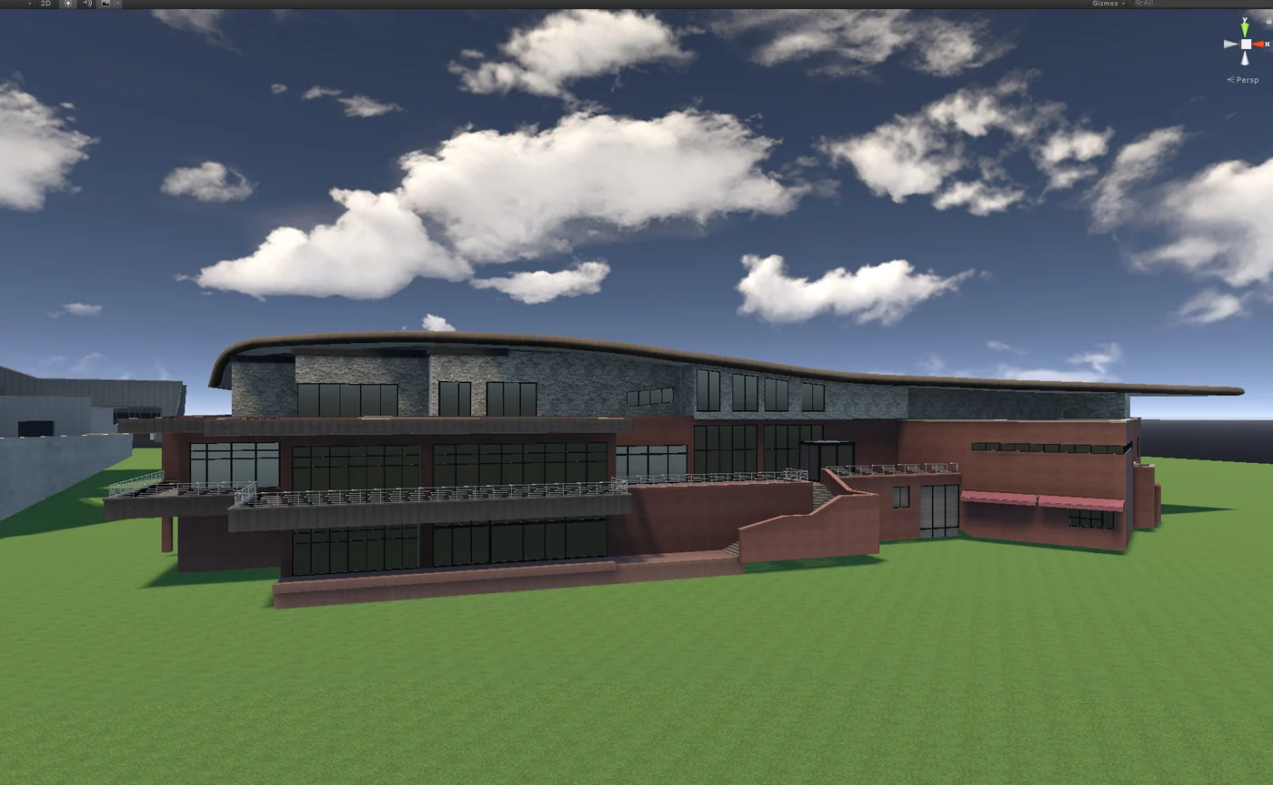
Based on the target product and runtime environment, we produce terrain, fairways, greens, clubhouses, support facilities, and landscape assets with consistent structure, scale, and naming.
03 / Engine Delivery
Models, materials, and scene hierarchies are organized to the target product specification, reducing rework and handoff friction so deliverables can enter the client's production workflow directly.
Verified Spatial Data
Mission planning, field capture, and photogrammetric processing can produce orthophotos, DEMs, point clouds, and 3D models as the spatial foundation for terrain, course, and architectural asset production.
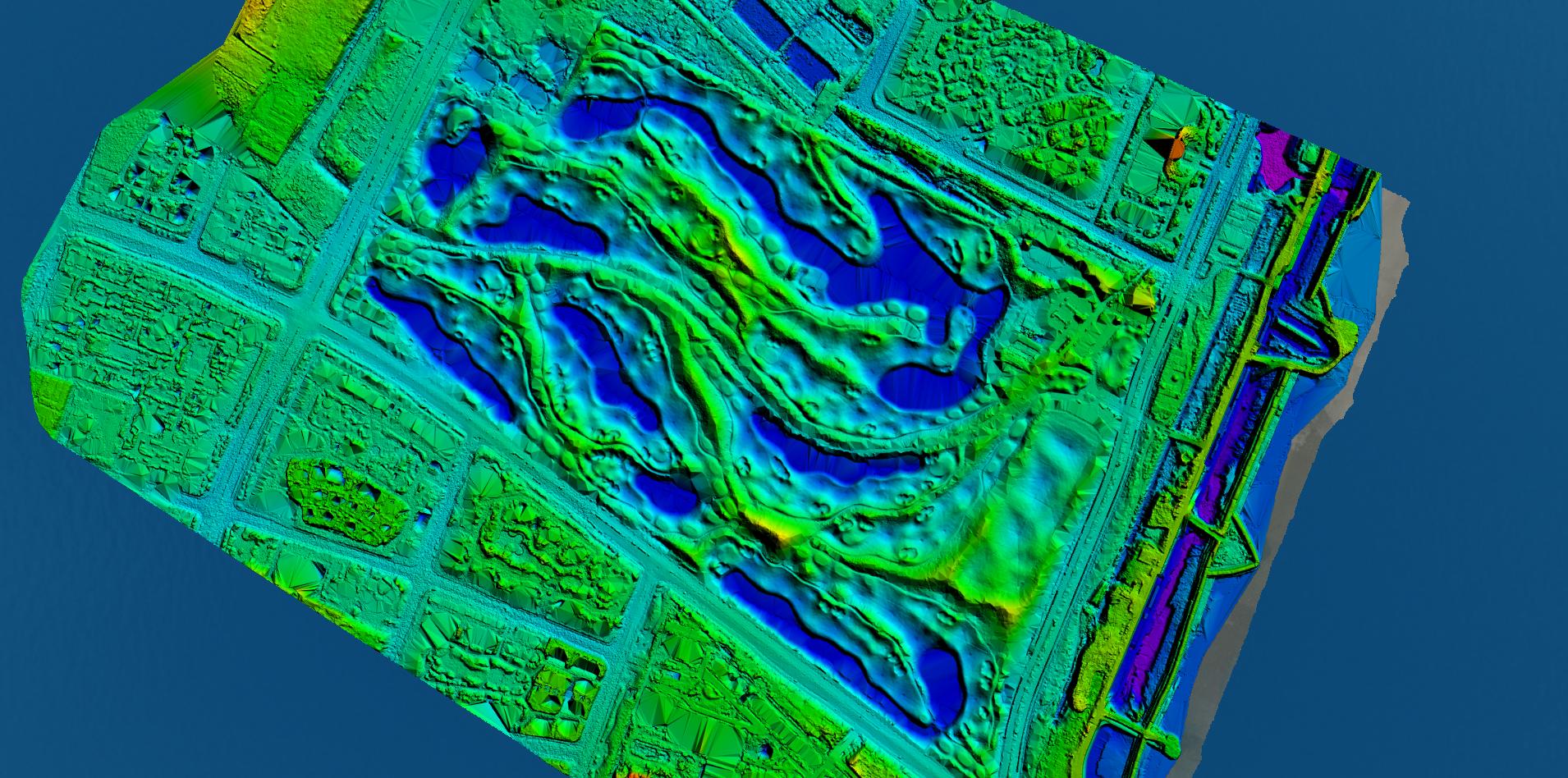
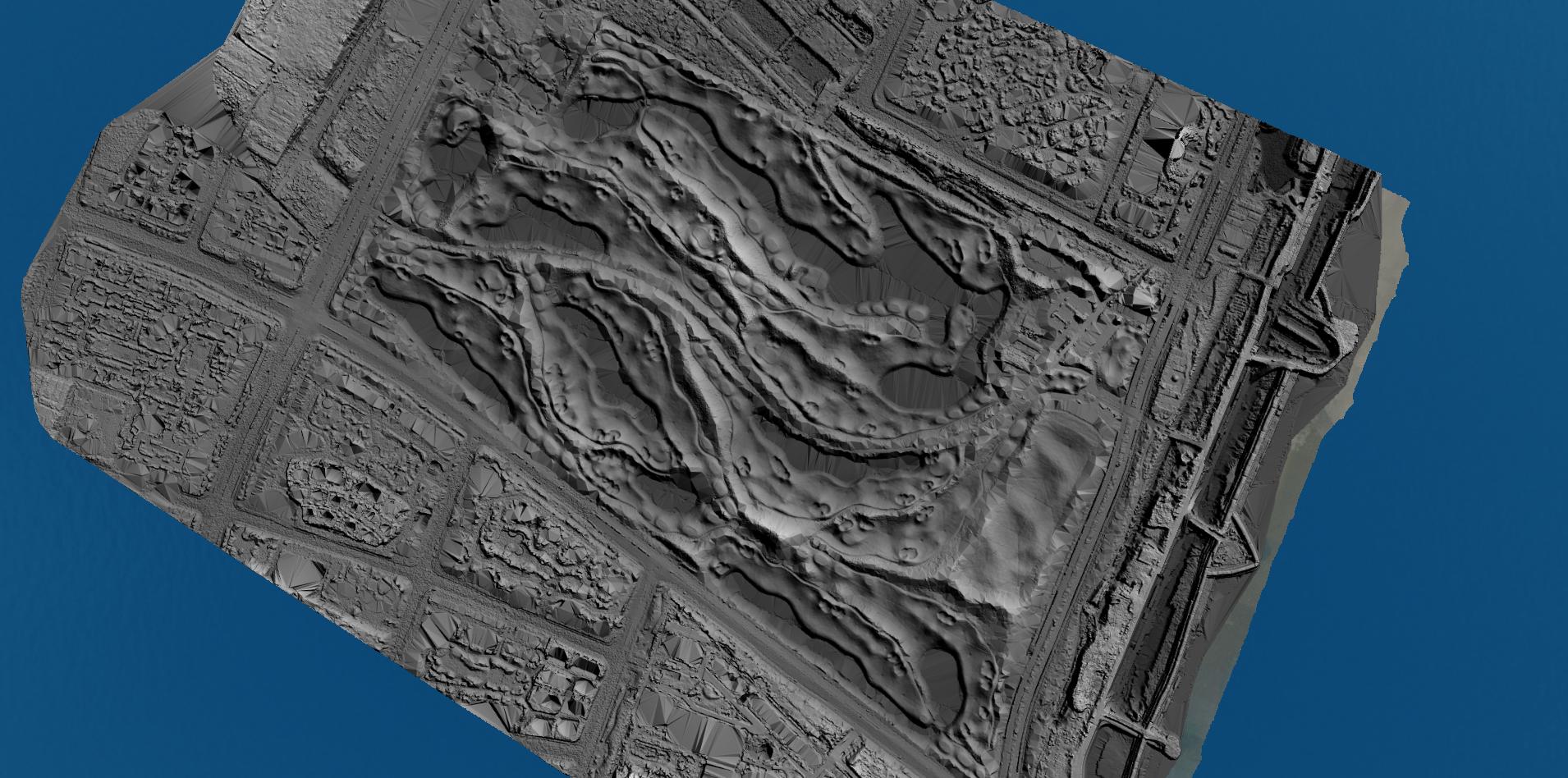
Accuracy NoteCentimeter-level results can be achieved under suitable operating conditions. GSD describes the ground sampling distance of the imagery; it is not the same as relative model accuracy or elevation accuracy. Actual targets depend on flight altitude, control method, site conditions, and project acceptance criteria.
Selected Work
Courses, clubhouses, and support facilities produced within one asset system.
End-to-End Workflow
Quality control runs throughout the workflow. Milestones, checklists, and acceptance criteria are established at kickoff to reduce risk in cross-border collaboration and volume production.
Use case, coverage, spatial reference, accuracy, and acceptance criteria.
UAV surveying, oblique imagery capture, photography, and video records.
Aerial triangulation, orthophotos, DEMs, and oblique photogrammetry outputs.
Course, building, facility, and landscape assets.
Materials, scene assembly, Unity adaptation, and optimization.
Stage reviews, version control, checklist delivery, and secure archiving.
Delivery Standards
Folders, naming, coordinates, model hierarchies, and engine resources follow client specifications. Source data, working files, and final assets remain strictly confidential.
Commercial Advantage
Our Dalian-based team, standardized pipeline, and integrated workflow reduce rework, waiting time, and management overhead for custom and multi-course programs.
Less coordination overhead and fewer repeated confirmations.
Lower risk of duplicate processing and volume rework.
Production aligned with the product use case, technical standards, and delivery structure.
Controlled access to client references, project data, source files, and deliverables.
About Quandao
Quandao Technology (Dalian) Co., Ltd. has specialized in golf course spatial data, 3D assets, and digital environments since 2019. We can deliver the complete scope from field capture to engine-ready content or integrate selected modules into an established product pipeline.
Our team has completed more than 200 golf course building models. Commissioned by Korea-based golf companies, we have also produced course models and delivered supporting UAV survey services for over 30 golf courses in China.
Every engagement is tailored to the client's use case and technical standards. Client references, spatial data, model source files, and deliverables are protected by strict asset confidentiality controls.
Engagement Models
Start with one hole, one building, or a limited data package to validate quality, format, schedule, and collaboration before scaling the scope.
Validate quality and standards quickly with one hole, building, or limited data set.
Consistent delivery across multiple courses, buildings, or standardized asset packages.
Production organized around your brand, product specifications, and delivery structure.
A dedicated workflow aligned with your use case, technical specification, and deliverable list.
Project Questions
Services can be commissioned as a complete scope or as individual modules. At kickoff, we review available source material, intended use, operating conditions, technical standards, and acceptance methods before defining the production route.
Yes. Based on the course location, airspace conditions, coverage, terrain, and required deliverables, we can plan missions and perform UAV surveying, oblique photogrammetry, ground and building imagery capture, and on-site quality checks. Airspace permissions, weather windows, and course operations are confirmed before mobilization.
Yes. Before production, we review image clarity, overlap, positioning information, spatial reference, and coverage completeness to determine whether the data supports the required orthophoto, DEM, point cloud, or 3D modeling output. If gaps are identified, we recommend supplementary capture or control information.
Yes. A pilot can cover a single hole, local terrain, one building, a clubhouse, or ancillary facilities. Once standards are confirmed, the same workflow can scale to a full 18-hole course, multiple courses, or volume asset production.
Yes. We confirm coordinates, scale, naming, model hierarchy, materials, performance budgets, and resource folders at kickoff. We can deliver Unity scenes, prefabs, and asset packages; specifications for other simulators or engines can be evaluated and implemented from client documentation.
A non-disclosure agreement can be signed for each engagement. Raw imagery, coordinate data, source models, working files, and final deliverables are restricted to authorized project members and are not disclosed or transferred externally. Transfer methods, retention periods, delivery archives, and deletion procedures can be defined in the contract.
At kickoff, GSD, relative accuracy, elevation accuracy, spatial reference, control method, inspection method, and acceptance thresholds are defined separately. GSD describes image resolution and does not directly represent horizontal or elevation accuracy. Final acceptance is based on project control data, checkpoints, processing reports, and the agreed deliverable list.
Start a Project
Share a representative project sample and delivery requirements. We will confirm scope, technical standards, cost, and schedule while protecting all project assets.